Every vehicle, right now
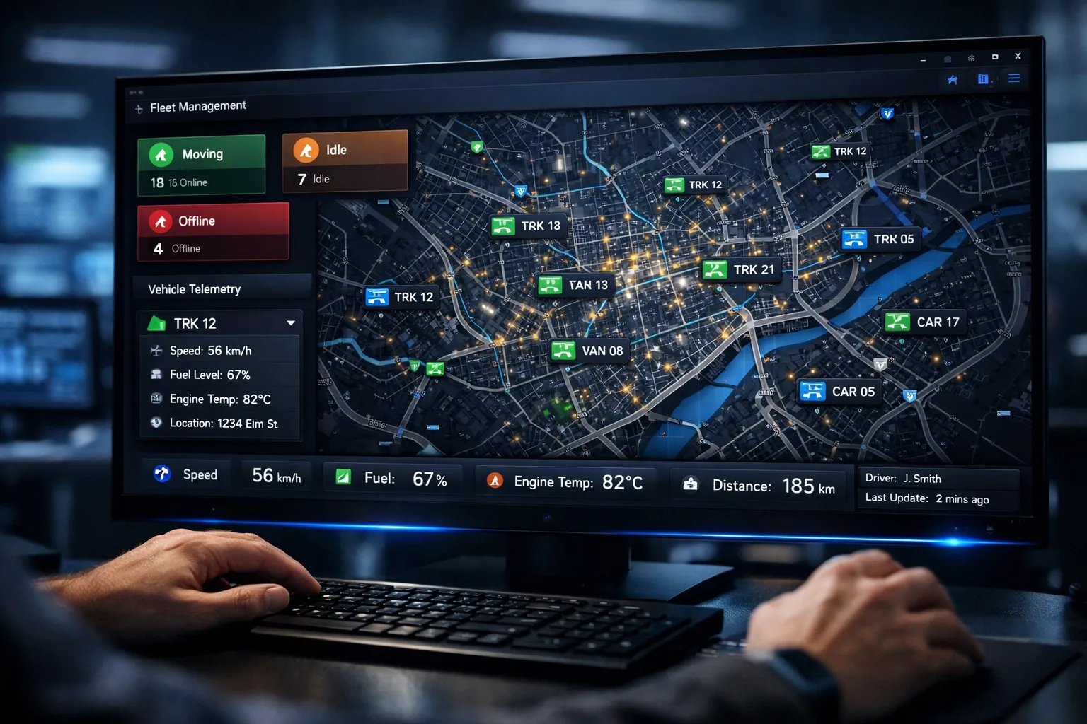
An interactive map shows the real-time position of every vehicle in your fleet. Markers update live as vehicles move — no page refresh, no polling interval, no delay between field and screen.
- Google Maps-based interactive view
- Vehicle markers with real-time WebSocket position updates
- Status indicators: moving, idle, stopped, offline
- Smart clustering for fleets of 1,000+ vehicles
Deep telemetry at a single click
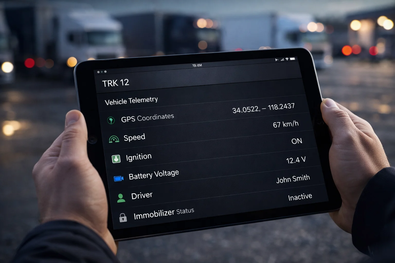
Click any vehicle to open a full telemetry panel showing speed, heading, ignition state, GSM signal strength, battery voltage, driver identity from iButton, and immobilizer lock status — all updated live.
- Speed, direction, and GPS coordinates
- Ignition on/off and movement state
- iButton driver authentication status
- Immobilizer lock state and last seen timestamp
Frequently asked questions
How fast do positions update on the live map?
Positions arrive over a WebSocket connection, so vehicles move on the map as the devices report, without reloading the page.
Can it handle a large fleet?
Yes. Marker clustering and virtualized lists keep the map and the vehicle list responsive with more than 1,000 vehicles.
What do I see besides the position?
Speed, status and the full telemetry that each device reports, all on the same live map.
How accurate is GPS tracking?
In open sky, positions are typically accurate to within a few metres. Accuracy can drop near tall buildings, in tunnels or in underground car parks.
Do I need to install an app?
No. FlottaGPS is a web application, so you open it in your browser on a computer or a phone.
What if a vehicle loses its connection?
Many GPS devices store positions while out of coverage and send them once the connection returns. Exact behaviour depends on the device model.
Industry solution: Fleet Operators