See every patrol unit in real time
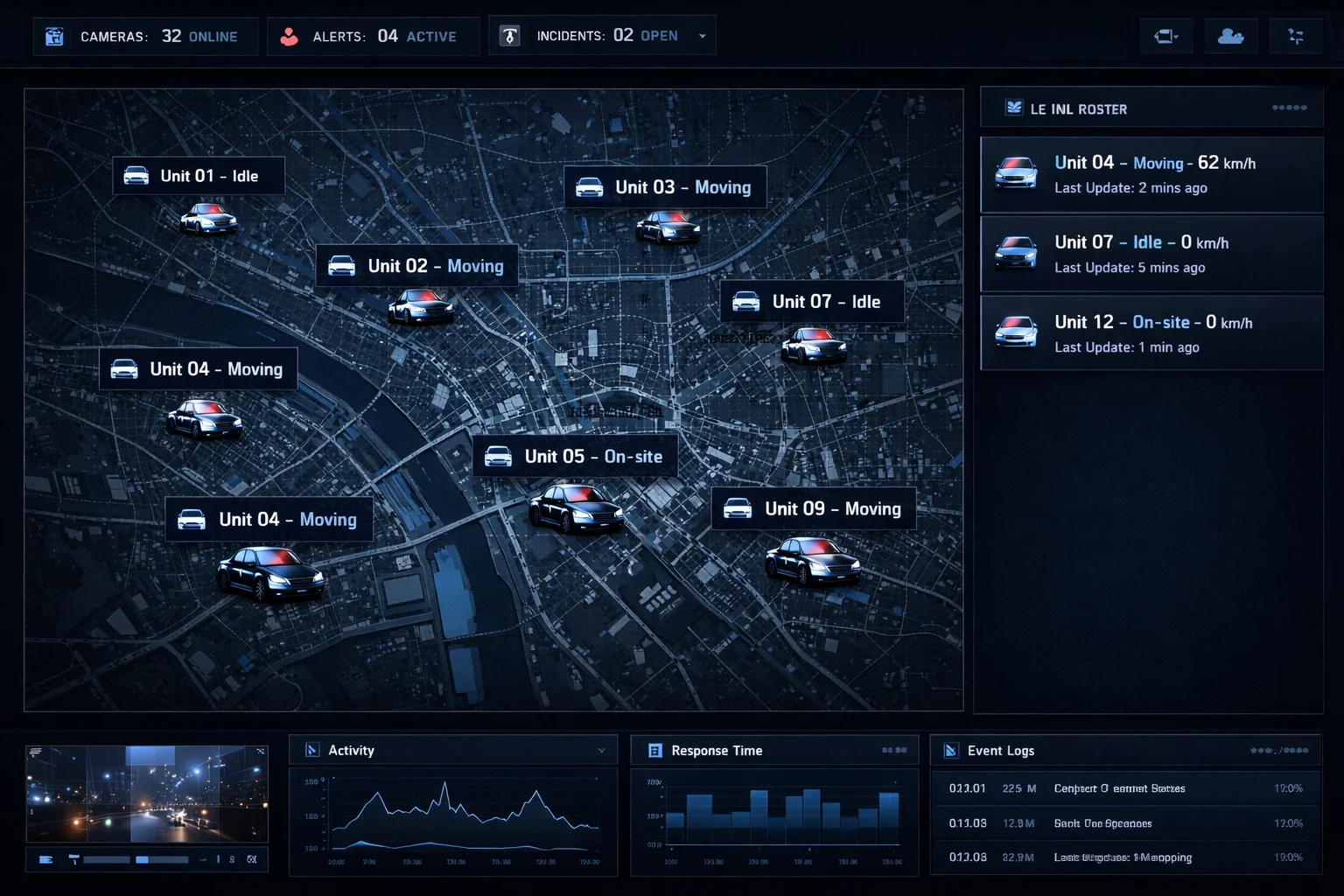
Your operations center gets a live map of every patrol vehicle with second-by-second position updates. Unit status — moving, idle, stopped — is visible at a glance. Assign the nearest unit to any incident without radio calls and track response in real time.
- Real-time GPS positions for all patrol units on one map
- Unit status indicators: moving, idle, stopped, offline
- Historical patrol routes for any date — full playback available
- WebSocket push updates — no refresh, always live
Define patrol zones. Get notified of every breach.
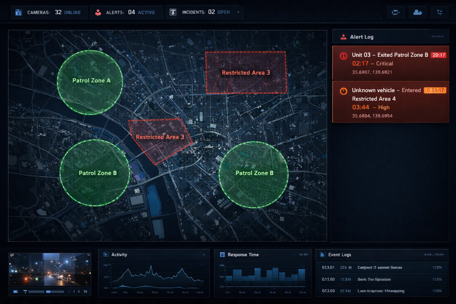
Draw geofence boundaries around client sites, restricted areas, or patrol zones. Receive instant notifications when a patrol unit exits their assigned area or a vehicle enters a secured perimeter without authorization. Every alert is logged with a timestamp and location for client documentation.
- Geofence zones for patrol areas and client sites
- Entry/exit alerts with GPS coordinates and timestamps
- Crash detection alerts for unit safety monitoring
- Full alert history for client and compliance reporting
The features behind the solution
Frequently asked questions
Can I monitor patrols live?
Yes. All patrol units appear on an interactive map.
Can I check route coverage?
Yes. Geofence patrol zones and GPS-verified route history document every patrol.
What happens in an incident?
Crash detection and emergency alerts notify you instantly.
Can I prove that a patrol covered a route?
Yes. GPS-verified route history documents where each patrol unit went and when.
How do geofence zones help patrols?
They let you define the areas a patrol must cover and alert you when a unit enters or leaves them.
Do patrol staff need to be informed about tracking?
Yes. Inform staff before tracking starts, explain the purpose and keep data only as long as needed.